Black Sea Cruise for BP Exploration Operating Company Ltd.
Oct 2, 2004

Picture 1 – The R/V PIRI REIS
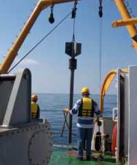
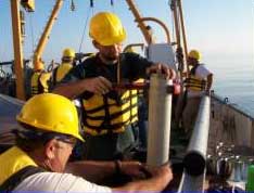
Picture Plate 2 – Gravity Coring Operations
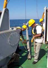
The study was conducted during two consecutive cruise legs mobilized from Trabzon. On Leg I (six days) the coring and metocean components were conducted. The coring was conducted with a 4-meter, 300-kilo coring rig using PVC liner (Picture 2). Cores were navigated to coring targets with a Kongsberg-Simrad HP-410 USBL and MST-342 beacons attached to the corer. The USBL transducer was mounted on a side pole-mount. GeoNav software was used in conjunction with C-Nav differential signals and the USBL positioning hardware to provide precision DGPS positioning of all cores. A 300 KHz RD Instruments ADCP was deployed on the ships hydrowinch to obtain vertical current meter profiles from the surface to the seafloor (Picture 3).
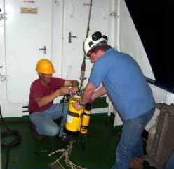
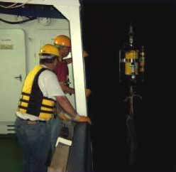
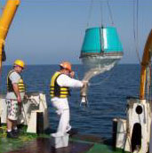
Picture Plate 3 – ADCP Deployment
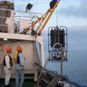

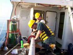
Picture Plate 4 – Plankton , cox coring and water column sampling operations
Participants in the TDI-Brooks team on this project were AOA Geophysics and Texas A&M University who assisted with the navigated cores and ADCP measurements respectively.